3DEO Overview
A concise view of our systems and how we partner end-to-end — from consulting and equipment to collection, processing, and answers.
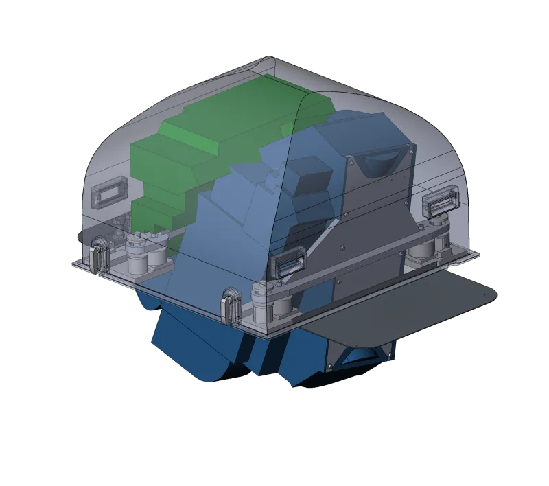
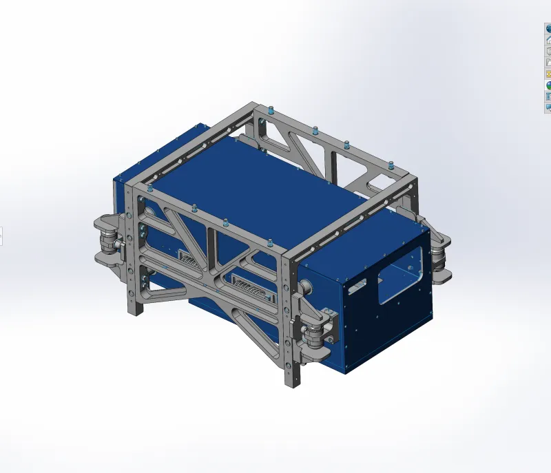
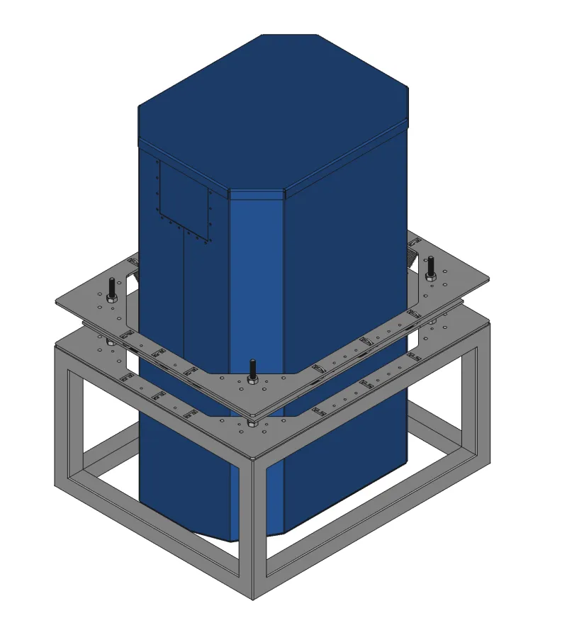
Systems
Download the one-page briefs for each system.
Acadia
Airborne mapping system optimized for high-quality collections in challenging environments.
Sequoia
Next-generation airborne lidar for wide-area, high-density collections.
Wrangell
System designed for high-confidence data acquisition with operational flexibility.
Zion
Compact capability focused on performance where conventional lidar breaks down.
About 3DEO
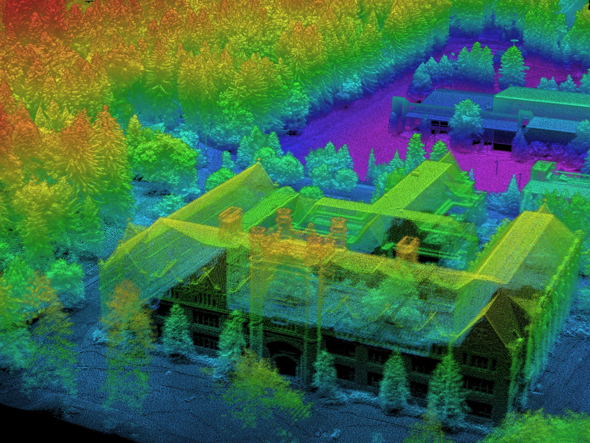
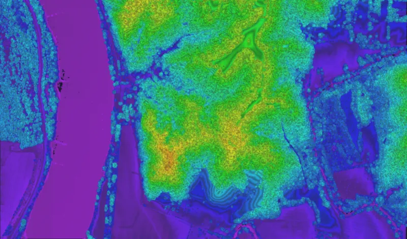
We, at 3DEO Inc., are an MIT Lincoln Laboratory spin-out specializing in high-efficiency, airborne Geiger-mode LiDAR systems for rapid, large-scale 3D mapping. Our technology uses single-photon sensitivity to collect 10–30 million 3D measurements per second from high altitudes, providing detailed, cost-effective data for defense, forestry, urban planning, and disaster response. Key features include proprietary “agile” scanning for high-resolution, multi-angle data capture.
Key Aspects of Our 3DEO Lidar Technology
- Geiger-mode Technology: Unlike traditional linear-mode Lidar that requires thousands of photons, 3DEO’s sensors need only a few photons to detect a signal. This allows for operation from much higher altitudes (e.g., 30,000+ feet) while maintaining high, 1-foot resolution, enabling faster, cheaper mapping.
- Rapid Data Acquisition: Systems can capture 10–30 million 3D measurements per second.
- Agile Scanning: A patent-pending, multi-axis scanning method allows the system to focus on specific areas of interest (like urban canyons or dense forest canopy) from multiple angles, reducing shadows and improving detail.
Applications
- Defense & Surveillance: Used by DARPA and the US Army for Intelligence, Surveillance, and Reconnaissance (ISR).
- Forestry & Environment: Mapping forest structure, canopy height, and fuel for wildfire modeling.
- Urban & Infrastructure: Creating 3D models of cities and critical infrastructure.
- Disaster Response: Rapidly mapping areas after natural disasters to identify damage.
- And MANY, MANY MORE! Unsure if we help in your industry? Let’s talk! Book a free call with us here.
Based in Norwood, Massachusetts, and founded in 2014, we design, build, update, maintain, and optimize systems for both government and commercial clients.
We are truly the most sought-after trusted advisors in the geospatial and 3D mapping industries. We’re real people working every single day to make sure what you have to accomplish is easier, quicker, and done at a fraction of the cost.
Don’t hesitate. Book a free call with us now